Modern Photogrammetry
 |
 |
 |
 |
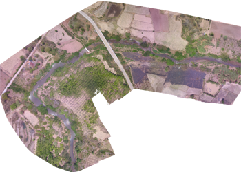
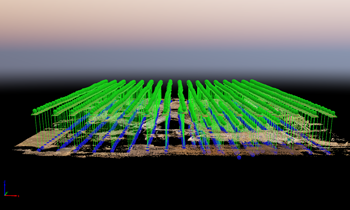
Drone: Unmanned aerial vehicle. As an unmanned aircraft system, Drone is remotely controlled from ground by an operator or navigated by a computer system. Since Drone is able to be attached with camera or video camera for recording during it is operated, the mapping data can be effectively supported and up-to-date. |
|